top of page

The Renewal Areas

The following photos provide a view of the three areas shown on the project map
Area A
Looking from the south side of Main Rd and the path from Eltham Lower Park towards the bridge over the Diamond Creek

Area C North
Looking North towards the bridge over the Diamond Creek - left hand side of Main Rd on approach to Eltham
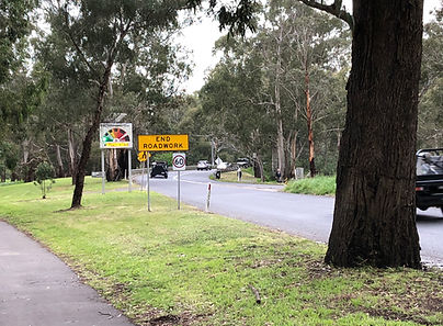
Area B
Looking North along Main Rd towards the Flower Stall / Bus stop area

Area C South
Looking towards the bridge over the Diamond Creek - right hand side of Main Road on approach to Eltham

bottom of page